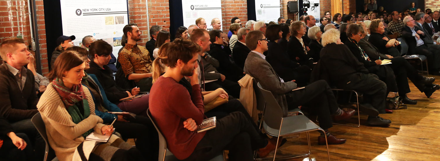
Maps are only as good as the data that feeds them. Across North America, civil society groups are advocating that governments and their agencies make their data open to the public. Increasingly cities are adopting an ‘open data’ policy so City residents can engage directly in solution-making, using data to come up with new tools and approaches to city building.
The City of Toronto’s open data portal has been running since November 2009. We’ll discuss what’s currently available, how the data can be used, and what the future has in store.
Presenters
- From the City of Toronto, Keith McDonald (Supervisor, Information Management Training), Scott Webb (Senior Spatial Specialist, Geospatial Competency Centre), and Gina Porcarelli (Spatial Products Analyst, Geospatial Competency Centre) will describe the map data that is currently available through Open Toronto and what’s coming soon.
- Mark Kuznicki will introduce us to DataTO, an online community-led initiative that allows people to request data and give feedback on the data that has been made available.
- Marcel Fortin (Map and Data Librarian, University of Toronto) will show what map data looks like, how the University of Toronto and other institutions are using it, and how you can use this data in your own community work.
Curated by:
Centre for City Ecology

