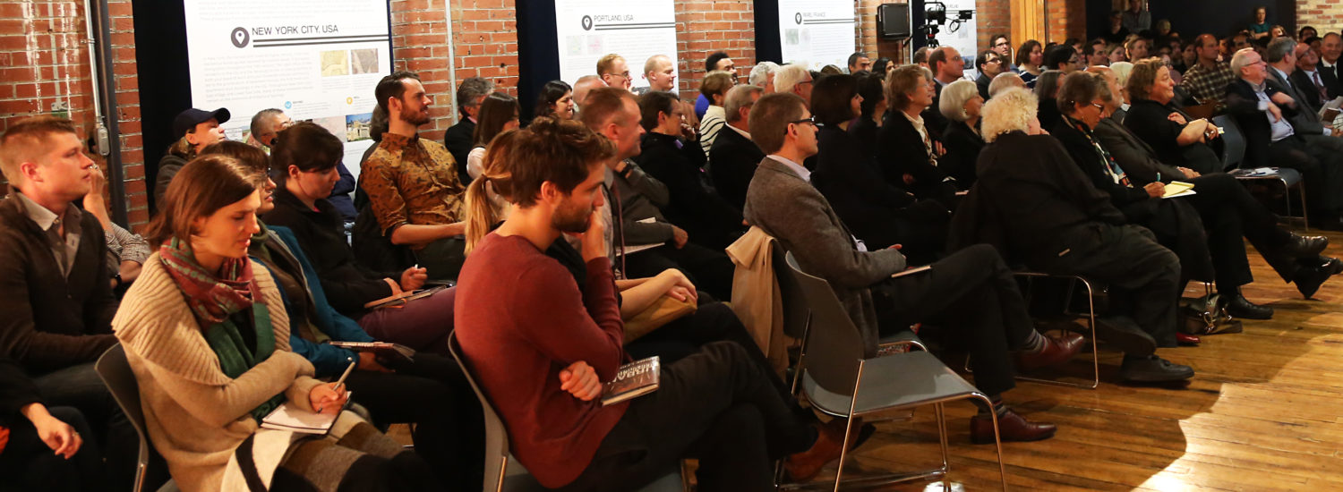
As 3d and virtual reality mapping platforms evolve, researchers are exploring how to use these technologies for urban planning and modelling. In this event, presenters will demonstrate their projects and show their potential to strengthen city-building initiatives in Toronto and beyond.
Presenters
- Carl Skelton will present on BetaVille, which currently features a true-to-life 3D model of New York City which users can alter at will, moving buildings, importing new designs from programs like Google Sketchup, adding comments and proposing changes. This open-source multiplayer environment was created by a team at the Polytechnic Institute of New York University in partnership with the University of Applied Sciences in Bremen, Germany.
- John Danahy, Associate Professor of Landscape Architecture at the University of Toronto, will present on how he uses virtual reality to create integrated urban models. He will also speak about how laptops and other mobile technologies enable researchers to work more closely with community groups.
- Gunho Sohn, Assistant Professor of Geomatics Engineering at York University, will present on the “3D Town” project at York University, which maps the real-time movement of people and vehicles in indoor and outdoor city environments and integrates them with a real-time KML-based geobrowser.
Curated by:
Centre for City Ecology

